The Sky Has a Spreadsheet: Reading Satellite Methane Signals Before They Become Landfill Headlines
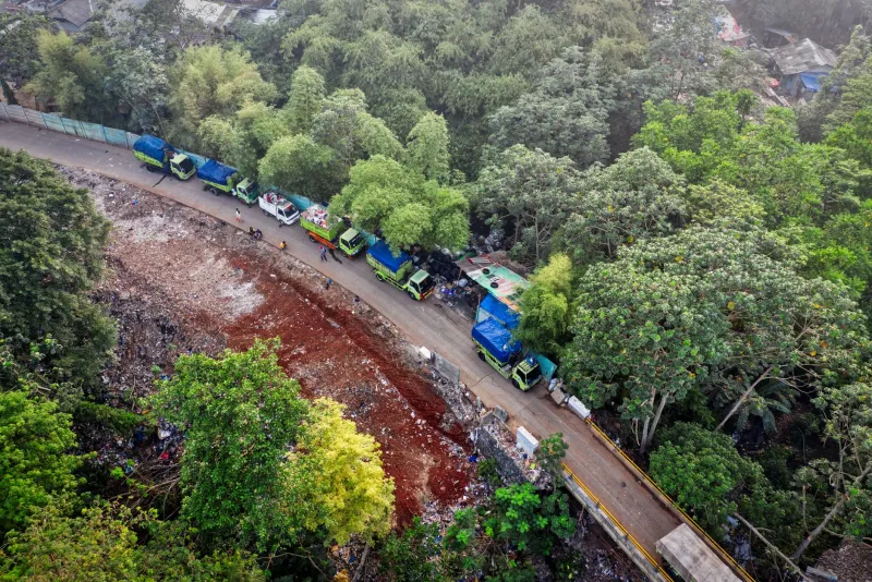
Open satellite methane data has moved from the research annex to the public square. In 2026, a growing constellation of public and philanthropic instruments, together with commercial analytics platforms, can detect large methane plumes and publish them in forms that journalists, local health departments, and community groups are learning to read. For landfill operators, that shift changes the compliance calendar. A plume can become a news story, a state inquiry, or a neighborhood meeting agenda long before an inspector arrives at the gate.
The temptation is to treat satellite detections as either alarming or irrelevant. Neither posture is useful. Satellite methane monitoring is a screening tool with real strengths and real limits. It can reveal sustained emissions that ground-based surveys miss, especially across large sites with active filling areas, closed cells, leachate systems, and gas collection infrastructure. It can also flag plumes that are brief, wind-driven, or linked to ordinary landfill processes rather than a failed component. The operator's task is to build an interpretive layer between the public map and the site's actual gas management system.
What the Public Sees
Most public-facing methane platforms do not publish a regulatory finding. They publish an observation: a concentration enhancement, a plume footprint, an estimated emissions rate, and a time stamp. The underlying science involves atmospheric transport, wind fields, surface reflectance, cloud cover, detection thresholds, and pixel resolution. A landfill that appears in a public dashboard may be emitting at a rate that is significant, or it may be one source within a broader emissions field. The public rarely sees those caveats first. They see a location pin and a question: what is happening at that site?
That is why landfill operators should monitor the same public data streams that their neighbors and regulators monitor. A monthly or weekly review of available satellite products is now a basic reputational control. Assign a data steward, document the review, and keep a simple log of detections, weather conditions, operational context, and follow-up actions. The log does not need to be elaborate. It needs to show that the site is paying attention and can explain what it found.
Routine Behavior Versus an Actionable Leak
Landfills are not sealed systems. Active filling areas, daily and intermediate cover, gas collection headers, flares, leachate collection, and condensate management all create pathways for methane. Some emissions are expected. The question is whether a detected plume points to a condition that the operator can and should correct: a cover breach, a disconnected gas well, a flare outage, a header leak, or a temporary construction exposure.
A credible triage process should combine satellite observations with site-specific evidence. First, check the time stamp against operating logs. Was a cell being opened, capped, or drilled? Was a flare down for maintenance? Was there a known pressure excursion in the gas collection system? Second, compare the detection against ground-based monitoring records, including surface scans, wellhead measurements, and optical gas imaging where available. Third, review meteorological conditions. High winds, low atmospheric stability, and temperature inversions can complicate both detection and interpretation.
Operators should also distinguish between persistent and episodic signals. A single overpass may capture a transient condition. Repeated detections over the same area, especially when paired with elevated gas collection system vacuum or pressure data, deserve a field investigation. The response should be proportionate. Not every public plume requires a press release. Every public plume deserves a documented look.
A Credible Response Plan
The most effective preparation happens before a detection becomes public. A landfill methane response plan should identify who reviews satellite data, who can authorize field verification, who speaks with regulators, and who communicates with the public. It should include pre-drafted language explaining the site's gas collection system, its monitoring obligations, and the difference between a screening observation and a confirmed emission event.
The plan should also connect satellite review to existing compliance programs. Landfill gas monitoring under federal and state requirements already generates a substantial record. That record is an asset. If a satellite detection prompts questions, the operator can show wellhead readings, flare operating data, cover inspections, and corrective actions. The goal is not to explain away every plume. It is to demonstrate a system of care.
Finally, operators should prepare for the possibility that a public dashboard will be wrong, incomplete, or misleading. That happens. The response should be factual rather than defensive. Explain the detection limits, the site conditions, and the follow-up performed. A measured explanation builds more credibility than a blanket denial.
Where Professional Exchange Helps
Satellite methane monitoring is evolving faster than most compliance manuals. Methods change, platforms add features, and state agencies adopt different expectations. This is precisely the kind of gap that professional gatherings are designed to close. At ECTS Congress, sessions that pair remote sensing specialists with landfill operators and state regulators can turn a confusing public dataset into a practical operating protocol. The goal is not to make every environmental professional an atmospheric scientist. It is to make sure the person who receives the next public plume alert knows what to do first, what to document, and when to call for ground truth.